MODerate resolution Imaging Spectroradiometer (MODIS)
MODIS-Aqua
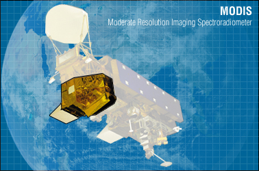
The MODIS instrument is a highly sensitive radiometer operating in 36 spectral bands ranging from 0.4μm to 14.4μm. Two bands are imaged at a nominal resolution of 250m at nadir, five bands at 500m, and the remaining 29 bands at 1km. MODIS is operating onboard Terra and Aqua. Terra was launched in December 1999 and Aqua in May 2002. A ±55° scanning pattern at 705km altitude achieves a 2,330km swath that provides global coverage every one to two days. Aqua has a 1:30am/pm equator crossing time while Terra has a 10:30am/pm equator crossing time, meaning that MODIS data is typically available on a daily basis. MODIS data are free of charge and can be accessed online. In general, the range of surface temperature values is dependent on the time of acquisition, and is greater for Aqua. The downscaling approaches based on optical data requires a strong coupling between surface temperature and surface soil moisture, which commonly occurs in areas where surface evaporation is not energy limited and when solar radiation is relatively high (usually between 11 am and 3 pm). Therefore MODIS on Aqua (1:30 pm) is more relevant than MODIS on Terra for downscaling purposes. MODIS data can be downloaded from NASA.
Mission
MODIS
Sensor
Medium-resolution, multi-spectral, cross-track scanning radiometer
Spacecraft
Terra
Launch date
18th, Dec. 1999
Design life
6 years
Orbit
Near-polar orbit.Cross Equator at 10:30am (descending mode)
Spacecraft operations control centre
NASA Goddard Space Flight Center
Center Frequency (GHz)
Incidence angle(°)
±55
Swath (km)
Spatial resolution (m)
Temporal resolution
1~2 days